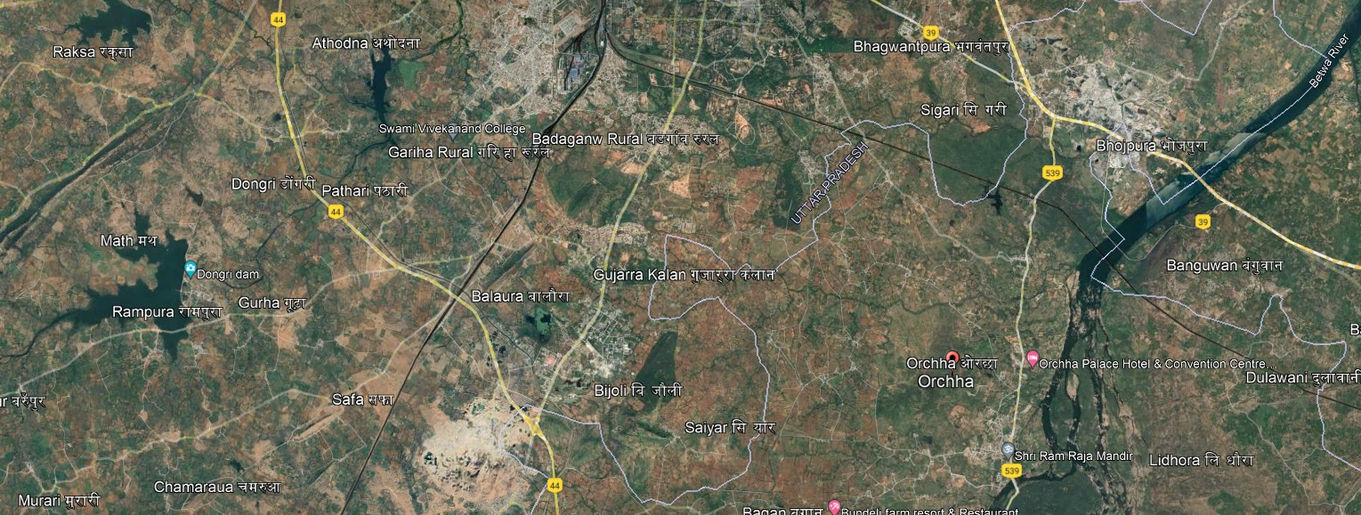
ORCHHA, MADHYA PRADESH
Ram Raja temple & plaza
Chatrabhuj Temple Complex
Machhli Darwaza Market Lane
Orchha Fort
Hardaul Vatika
Phool Bagh
Dharamshala
Palace ruins
Harijan colony
Old settlement
Orchha is a fairly big town, near the City of Nirwari in Nirwari District of Madhya Pradesh. It is situated on the Betwa River, about 11 km southeast of Jhansi in the state of Uttar Pradesh. Surrounded by thick jungle that long made it impregnable, the town was founded in 1531 and served until 1783 as the capital of Orchha princely state. The town encompasses a very dense collection of the historical buildings, gardens and traditional housings. It was the seat of an eponymous former princely state of central India, in the Bundelkhand region. The historical settlement derived its name from the phrase ‘Ondo chhe’ meaning ‘low’ or ‘hidden’. The local geography aided to the incorporation of the various pragmatic planning principles in the historical town while the individual elements of architecture and gardens in various buildings and houses, borrowed from the several Rajput and Mughal traditions, gave a harmonious visual language to the settlement. In Orchha, the blending of the existing Raj put culture with the later coming of the Mughal culture carne to an exquisite apogee.
The fortification, town planning, the garden design in Orchha evolved into a unique new form with amalgamation of Mughal style of gardens (cf. char bagh), Rajput Fort gardens, Hindu sacred groves and evolved hydrology systems. These gardens were strategically located around area of dense activities to provide relief to the urban fabric and to enhance the views from the high stories of palaces and temples. The main spine of the town is in the intersection of the two important axes, the North to South Axis and the East to West Axis.
North to South Axis is a summation of two key pathways, the inner former road that runs through the complex of a series of residential and public spaces of the older city of Orchha, connecting the important zones. The second key road is the Outer Concretized road built fairly new to serve and connect the newer structures important for an urban setting.
The East to West Axis is accessorial older road that connects the Laxmi Narayan Temple Complex to the City Palace, marked by major key locations like the Raja Ram Durbar Temple, the markets that expand radially outside the temple.
The standing of the older structures of the royalty and public importance gives us a hint of the organic life that developed here and the social organizations that worked along each other. We can see a rigorous presence of the public that claims its existence with the activities and continued shift of the individual throughout the landscape.
The confluence of the two major North-South Axis and the East-West Axis brings out an interesting emergence of a scheme that marks itself throughout the fabric of the main town and slowly radiating from the epicenter. The influx of tourists and the already existing locals forms a certain negotiation that affords for harmonious and a nuanced level of formation of spaces in the zone.
Orchha’s heritage is inextricably bound up with its cultural land- scape of riverfront, gardens, plazas, monuments and the urban fabric. It is necessary that this landscape be treated as an integrated entity for it to be conserved and managed. The town carries on a dialogue with the historic monuments, temples, River Betwa, and the forests beyond. The aesthetic qualities of the townscape reside in the vernacular housing and in the quality and upkeep of its civic spaces.
Group 1 Ram Raja Temple


Group 2 Chaturbhuj Temple Complex
Group 3 Macchli Darwaza Market Lane
Group 4 Phool Bagh Hardaul Baithak
Group 5 The Palki Mahal and Market
Group 6 Urban Housing
Group 7 &8 Urban Housing


